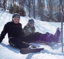
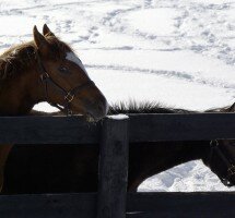
Headwaters Trails
The trails in the Hills of Headwaters cover thousands of kilometres and provide hours upon hours of natural enjoyment for visitors and residents alike.
We are pleased to provide the following trail information and trail map details, as provided by Headwaters Communities in Action, a community group that fosters leadership and action in support of a long-term vision of community well-being for the Headwaters Region.
Bruce Trail – Dufferin Hi-Land
Dufferin County Forest – Hockley Tract
Dufferin County Forest – Melancthon Tract
Dufferin County Forest – Main Tract
Dufferin County Forest – Little Tract
Dufferin County Forest – Mono Tract
Forks of the Credit Provincial Park
Hockley Valley Provincial Nature Preserve
![]()
The Ontario Federation of Snowmobile Clubs also provides an extensive mapping of trails throughout the province, and we are pleased to provide it herewith, for your reference.
Dufferin County Forest
The Dufferin County Forest is a 2,500 acre forest divided into twelve tracts that are located across Dufferin County. It is managed by the County of Dufferin on a sustainable, multi-use basis. The forest serves many important functions including erosion and water control, natural heritage protection, biodiversity, wildlife habitat, recreational opportunities, and support of the rural economy through timber production. Download the Dufferin County Forest brochure.
- Hunting in the Dufferin County Forest
- Hunting season
- Snowmobiling